Fernando Ab
Airport details
| Country | Philippines |
| State | Batangas |
| Region | RP |
| Airspace | Manila Ctr |
| Municipality | Mataasnakahoy |
| Elevation | 1220ft (372m) |
| Timezone | GMT +8 |
| Coordinates | 13.95000, 121.11667 |
| Magnetic var | |
| Type | land |
| Available since | X-Plane v10.40 |
| ICAO code | RPUL |
| IATA code | n/a |
| FAA code | n/a |
Communication
| Fernando AB CTAF | 121.900 |
| Fernando AB Tower | 118.100 |
Nearby Points of Interest:
Mount Makiling
-Tanza Church
-Paete Church
-Santa Ana Heritage Zone
-National Museum of Fine Arts
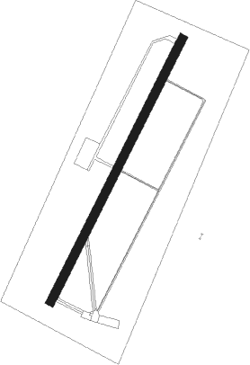
Runway info
| Runway 03 / 21 | ||
| length | 1517m (4977ft) | |
| bearing | 32° / 212° | |
| width | 45m (148ft) | |
| surface | asphalt | |
Nearby beacons
| code | identifier | dist | bearing | frequency |
|---|---|---|---|---|
| MIA | MANILA VOR/DME | 33.9 | 350° | 114.40 |
| SBA | SUBIC BAY VOR/DME | 71.5 | 313° | 113.50 |
Disclaimer
The information on this website is not for real aviation. Use this data with the X-Plane flight simulator only! Data taken with kind consent from X-Plane 12 source code and data files. Content is subject to change without notice.