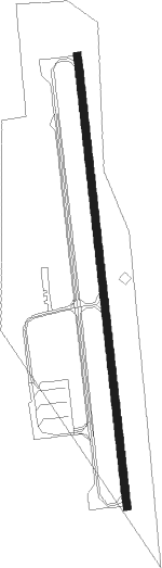
Bandon State
Airport details
| Country | United States of America |
| State | Oregon |
| Region | K1 |
| Airspace | Seattle Ctr |
| Municipality | Coos County |
| Elevation | 122ft (37m) |
| Timezone | GMT -8 |
| Coordinates | 43.08647, -124.40786 |
| Magnetic var | |
| Type | land |
| Available since | X-Plane v10.32 |
| ICAO code | S05 |
| IATA code | n/a |
| FAA code | n/a |
Communication
| Bandon State CTAF/UNICOM | 122.800 |
Nearby Points of Interest:
St. James Episcopal Church
-Patrick Hughes House
-Coos Bay National Bank Building
-Chandler Hotel and Annex
-Marshfield Elks Temple
-J. S. Coke Building
-Conde McCullough Memorial Bridge
Nearby beacons
| code | identifier | dist | bearing | frequency |
|---|---|---|---|---|
| OT | EMIRE (NORTH BEND) NDB | 18.9 | 18° | 378 |
| OTH | NORTH BEND VOR/DME | 22.3 | 36° | 112.10 |
Disclaimer
The information on this website is not for real aviation. Use this data with the X-Plane flight simulator only! Data taken with kind consent from X-Plane 12 source code and data files. Content is subject to change without notice.