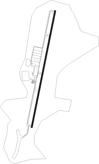
Sunriver
Airport details
| Country | United States of America |
| State | Oregon |
| Region | K1 |
| Airspace | Seattle Ctr |
| Municipality | Deschutes County |
| Elevation | 4164ft (1269m) |
| Timezone | GMT -8 |
| Coordinates | 43.87630, -121.45306 |
| Magnetic var | |
| Type | land |
| Available since | X-Plane v10.40 |
| ICAO code | S21 |
| IATA code | n/a |
| FAA code | n/a |
Communication
| Sunriver AWOS | 128.325 |
| Sunriver CTAF/UNICOM | 122.800 |
Nearby Points of Interest:
Peter Byberg House
-Congress Apartments
-Simpson E. Jones House
-Evan Andreas Sather House
-Drake Park Neighborhood Historic District
-Deschutes Public Library Administration Building
-Old Bend High School
-Thomas McCann House
-Bend Amateur Athletic Club Gymnasium
-Robert D. Moore House
-George Palmer and Dorothy Binney Putnam House
-Old U.S. Post Office
-Emil and Ottilie Wienecke House
-Paulina Lake Guard Station
-O'Kane Building
-N. P. Smith Pioneer Hardware Store
-B. A. and Ruth Stover House
-Downing Building
-Charles Boyd Homestead Group
-Newberry Volcano
-Deschutes River Trail
-Sisters High School
-Milton Odem House
-Oregon Route 242
-Cabin Lake Guard Station
Nearby beacons
| code | identifier | dist | bearing | frequency |
|---|---|---|---|---|
| DSD | DESCHUTES (REDMOND) VORTAC | 23.5 | 22° | 117.60 |
Instrument approach procedures
| runway | airway (heading) | route (dist, bearing) |
|---|---|---|
| RW18 | DRACK (185°) | DRACK TUPSE (3mi, 85°) 7000ft TUPSE (turn) 7000ft |
| RW18 | DSD (202°) | DSD TUPSE (8mi, 202°) 7000ft |
| RW18 | OCTAD (217°) | OCTAD TUPSE (7mi, 359°) 7000ft TUPSE (turn) 7000ft |
| RW18 | URBIA (242°) | URBIA TUPSE (9mi, 303°) 7000ft TUPSE (turn) 7000ft |
| RNAV | TUPSE 7000ft HESKI (9mi, 202°) 6000ft GAPEY (3mi, 202°) 5180ft S21 (3mi, 202°) 4199ft (6732mi, 110°) 4760ft DSD (6717mi, 290°) 7000ft DSD (turn) |
Disclaimer
The information on this website is not for real aviation. Use this data with the X-Plane flight simulator only! Data taken with kind consent from X-Plane 12 source code and data files. Content is subject to change without notice.