Cooperstown - Cooperstown Muni
Airport details
| Country | United States of America |
| State | North Dakota |
| Region | K3 |
| Airspace | Minneapolis Ctr |
| Municipality | Griggs County |
| Elevation | 1421ft (433m) |
| Timezone | GMT -6 |
| Coordinates | 47.42278, -98.10587 |
| Magnetic var | |
| Type | land |
| Available since | X-Plane v10.40 |
| ICAO code | S32 |
| IATA code | n/a |
| FAA code | S32 |
Communication
| Cooperstown Muni CTAF | 122.900 |
Nearby Points of Interest:
Griggs County Courthouse
-Northern Lights Masonic Lodge
-Steele County Courthouse
-Baldwin's Arcade
-Midland Continental Railroad Depot
Runway info
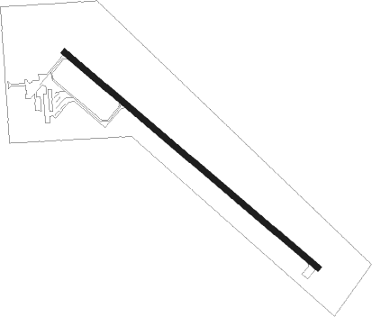
| Runway 13 / 31 | ||
| length | 1065m (3494ft) | |
| bearing | 124° / 304° | |
| width | 18m (60ft) | |
| surface | asphalt | |
Nearby beacons
| code | identifier | dist | bearing | frequency |
|---|---|---|---|---|
| JMS | JAMESTOWN VOR/DME | 37.5 | 229° | 114.50 |
| RDR | RED RIVER (GRAND FORKS) TACAN | 42.7 | 53° | 116.40 |
| GF | HISER NDB | 45.2 | 65° | 345 |
| GFK | GRAND FORKS VOR/DME | 49 | 60° | 114.30 |
| DVL | DEVILS LAKE VOR/DME | 52.8 | 311° | 114.75 |
Instrument approach procedures
| runway | airway (heading) | route (dist, bearing) |
|---|---|---|
| RW13 | UNIZY (249°) | UNIZY OHDUP (18mi, 280°) 4000ft TOSLY (5mi, 236°) 4000ft |
| RW13 | UYTAG (79°) | UYTAG CEVOX (19mi, 61°) 4000ft TOSLY (5mi, 55°) 4000ft |
| RNAV | TOSLY 4000ft MOCUX (6mi, 124°) 3100ft COLPU (3mi, 124°) 2100ft S32 (2mi, 124°) 1462ft (5734mi, 116°) 1824ft RAKGU (5727mi, 296°) 3100ft RAKGU (turn) | |
| RW31 | UNIZY (249°) | UNIZY ZESED (12mi, 187°) 4000ft RAKGU (5mi, 236°) 4000ft |
| RW31 | UYTAG (79°) | UYTAG YISES (31mi, 95°) 4000ft RAKGU (5mi, 56°) 4000ft |
| RNAV | RAKGU 4000ft OXTAF (6mi, 304°) 3100ft YEYUT (3mi, 304°) 2000ft S32 (2mi, 304°) 1461ft (5734mi, 116°) 1800ft TOSLY (5741mi, 296°) 3200ft TOSLY (turn) |
Disclaimer
The information on this website is not for real aviation. Use this data with the X-Plane flight simulator only! Data taken with kind consent from X-Plane 12 source code and data files. Content is subject to change without notice.