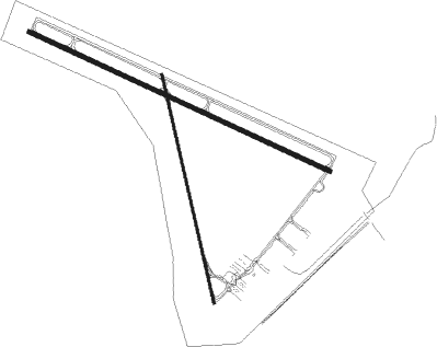
Prineville
Airport details
| Country | United States of America |
| State | Oregon |
| Region | K1 |
| Airspace | Seattle Ctr |
| Municipality | Prineville |
| Elevation | 3250ft (991m) |
| Timezone | GMT -8 |
| Coordinates | 44.28425, -120.89607 |
| Magnetic var | |
| Type | land |
| Available since | X-Plane v10.40 |
| ICAO code | S39 |
| IATA code | PRZ |
| FAA code | S39 |
Communication
| Prineville AWOS | 118.325 |
| Prineville CTAF/UNICOM | 122.800 |
| Prineville SEA Contr | 128.250 |
Nearby Points of Interest:
Thomas M. Baldwin House
-Marion Reed Elliott House
-Old First National Bank of Prineville
-Crook County Bank Building
-Milton Odem House
-Charles Boyd Homestead Group
-Deschutes River Trail
-Oregon Trunk Railway Passenger and Freight Station
-Downing Building
-O'Kane Building
-N. P. Smith Pioneer Hardware Store
-B. A. and Ruth Stover House
-Old U.S. Post Office
-Bend Amateur Athletic Club Gymnasium
-George Palmer and Dorothy Binney Putnam House
-Old Bend High School
-Deschutes Public Library Administration Building
-Robert D. Moore House
-Thomas McCann House
-Simpson E. Jones House
-Evan Andreas Sather House
-Emil and Ottilie Wienecke House
-Drake Park Neighborhood Historic District
-Peter Byberg House
-Congress Apartments

Nearby beacons
| code | identifier | dist | bearing | frequency |
|---|---|---|---|---|
| DSD | DESCHUTES (REDMOND) VORTAC | 17.6 | 266° | 117.60 |
Departure and arrival routes
| Transition altitude | 18000ft |
| Transition level | 18000ft |
| SID end points | distance | outbound heading | |
|---|---|---|---|
| RW11 | |||
| DSD3 | 18mi | 266° | |
| RW15 | |||
| DSD3 | 18mi | 266° | |
| RW29 | |||
| DSD3 | 18mi | 266° | |
| RW33 | |||
| DSD3 | 18mi | 266° | |
Instrument approach procedures
| runway | airway (heading) | route (dist, bearing) |
|---|---|---|
| RW11 | DSD (86°) | DSD IVVIB (7mi, 38°) 7100ft |
| RW11 | HERBS (109°) | HERBS IVVIB (4mi, 133°) 7100ft |
| RW11 | HORRN (105°) | HORRN BOTTL (10mi, 124°) 8700ft IVVIB (11mi, 91°) 7100ft |
| RW11 | IVVIB (103°) | IVVIB 7100ft |
| RNAV | IVVIB 7100ft RUVHE (8mi, 102°) 5200ft ASICU (6mi, 102°) 3441ft (6701mi, 110°) 5100ft DSD (6717mi, 290°) 7100ft DSD (turn) | |
| RW29 | GASHE (156°) | GASHE ZUDMI (50mi, 132°) 8300ft IKZIV (12mi, 218°) 8000ft |
| RW29 | IMB (253°) | IMB ZUDMI (38mi, 247°) 9000ft IKZIV (12mi, 218°) 8000ft |
| RW29 | NAXZY (304°) | NAXZY IKZIV (8mi, 335°) 8000ft |
| RW29 | ROAMS (222°) | ROAMS ZUDMI (29mi, 186°) 8500ft IKZIV (12mi, 218°) 8000ft |
| RNAV | IKZIV 8000ft UHUFY (6mi, 292°) 6000ft JOYXE (3mi, 292°) 5140ft OGEYU (turn) 4780ft CUSVA (2mi, 292°) 3980ft UPEFI (1mi, 292°) 3633ft (6700mi, 110°) 4700ft DSD (6717mi, 290°) 7100ft DSD (turn) |
Disclaimer
The information on this website is not for real aviation. Use this data with the X-Plane flight simulator only! Data taken with kind consent from X-Plane 12 source code and data files. Content is subject to change without notice.