Klamath Glen - Andy Mc Beth
Airport details
| Country | United States of America |
| State | California |
| Region | |
| Airspace | Seattle Ctr |
| Municipality | Del Norte County |
| Elevation | 41ft (12m) |
| Timezone | GMT -8 |
| Coordinates | 41.51404, -123.99886 |
| Magnetic var | |
| Type | land |
| Available since | X-Plane v10.32 |
| ICAO code | S51 |
| IATA code | n/a |
| FAA code | S51 |
Communication
| Andy Mc Beth CTAF | 122.900 |
Nearby Points of Interest:
Radar Station B-71
-Prairie Creek Fish Hatchery
-Gasquet Ranger Station Historic District
-Trinidad Head Light
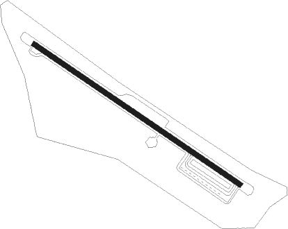
Runway info
| Runway 11 / 29 | ||
| length | 732m (2402ft) | |
| bearing | 121° / 301° | |
| width | 15m (49ft) | |
| surface | asphalt | |
Nearby beacons
| code | identifier | dist | bearing | frequency |
|---|---|---|---|---|
| CEC | CRESCENT CITY VORTAC | 19.2 | 318° | 109 |
| ACV | ARCATA VOR/DME | 32.3 | 192° | 115.05 |
| FOT | FORTUNA VORTAC | 51.7 | 196° | 114 |
Disclaimer
The information on this website is not for real aviation. Use this data with the X-Plane flight simulator only! Data taken with kind consent from X-Plane 12 source code and data files. Content is subject to change without notice.