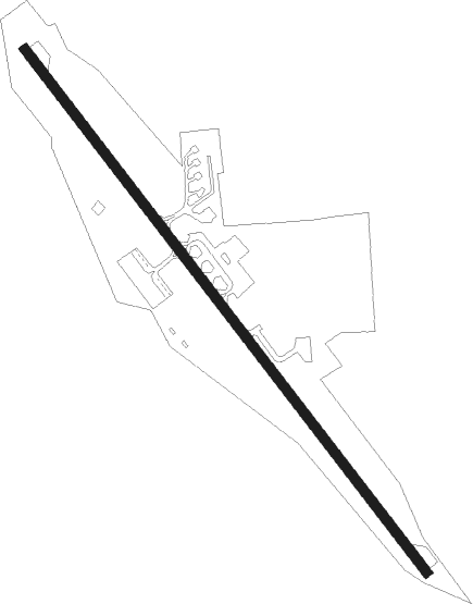
Winthrop - Methow Valley State
Airport details
| Country | United States of America |
| State | Washington |
| Region | K1 |
| Airspace | Seattle Ctr |
| Municipality | Okanogan County |
| Elevation | 1706ft (520m) |
| Timezone | GMT -8 |
| Coordinates | 48.42495, -120.14589 |
| Magnetic var | |
| Type | land |
| Available since | X-Plane v10.40 |
| ICAO code | S52 |
| IATA code | n/a |
| FAA code | S52 |
Communication
| Methow Valley State AWOS-3 | 118.425 |
| Methow Valley State CTAF/UNICOM | 122.800 |
Nearby Points of Interest:
Early Winters Ranger Station Work Center
-Washington Pass Overlook Trail
-George Miller House
-Golden West Lodge Historic District
-Purple Point-Stehekin Ranger Station House
-Golden West Visitor Center
-Stehekin School
-Sulphide–Frisco Cabin
-Buckner Cabin
-Buckner Homestead Historic District
-Fort Okanogan
Nearby beacons
| code | identifier | dist | bearing | frequency |
|---|---|---|---|---|
| YDC | PRINCETON VOR/DME | 58.1 | 347° | 113.90 |
| ON | OKANAGAN (PENTICTON) NDB | 59.6 | 32° | 356 |
Disclaimer
The information on this website is not for real aviation. Use this data with the X-Plane flight simulator only! Data taken with kind consent from X-Plane 12 source code and data files. Content is subject to change without notice.