Chinook - Edgar G Obie
Airport details
| Country | United States of America |
| State | Montana |
| Region | K1 |
| Airspace | Salt Lake City Ctr |
| Municipality | Blaine County |
| Elevation | 2416ft (736m) |
| Timezone | GMT -7 |
| Coordinates | 48.59211, -109.25061 |
| Magnetic var | |
| Type | land |
| Available since | X-Plane v10.40 |
| ICAO code | S71 |
| IATA code | n/a |
| FAA code | n/a |
Communication
| EDGAR G OBIE AWOS | 118.350 |
| EDGAR G OBIE CTAF/UNICOM | 122.800 |
Nearby Points of Interest:
Dave's Texaco
-Lohman Block
-Carnegie Public Library
-Havre Residential Historic District
-United States Post Office and Courthouse–Havre Main
-Fort Assinniboine
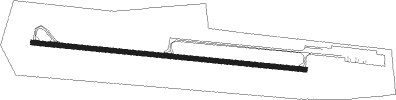
Runway info
| Runway 8 / 26 | ||
| length | 1217m (3993ft) | |
| bearing | 97° / 277° | |
| width | 23m (75ft) | |
| surface | asphalt | |
Nearby beacons
| code | identifier | dist | bearing | frequency |
|---|---|---|---|---|
| HVR | HAVRE VOR/DME | 20.8 | 264° | 114.65 |
Disclaimer
The information on this website is not for real aviation. Use this data with the X-Plane flight simulator only! Data taken with kind consent from X-Plane 12 source code and data files. Content is subject to change without notice.