Junín De Los Andes - Hostería San Huberto
Airport details
| Country | Argentina |
| State | Neuquén Province |
| Region | |
| Airspace | Ezeiza Ctr |
| Municipality | Departamento Huiliches |
| Elevation | 2833ft (863m) |
| Timezone | GMT -3 |
| Coordinates | -39.70051, -71.17542 |
| Magnetic var | |
| Type | land |
| Available since | X-Plane v10.40 |
| ICAO code | SA7Q |
| IATA code | n/a |
| FAA code | n/a |
Communication
| Hostería San Huberto ATC traffic | 118.200 |
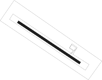
Runway info
| Runway 12 / 30 | ||
| length | 603m (1978ft) | |
| bearing | 121° / 301° | |
| width | 20m (66ft) | |
| surface | grass | |
Nearby beacons
| code | identifier | dist | bearing | frequency |
|---|---|---|---|---|
| CHP | SAN MARTIN DE LOS ANDES VOR/DME | 21.2 | 167° | 117 |
| CHP | CHAPELCO (SAN MARTIN) NDB | 22.9 | 176° | 265 |
Disclaimer
The information on this website is not for real aviation. Use this data with the X-Plane flight simulator only! Data taken with kind consent from X-Plane 12 source code and data files. Content is subject to change without notice.