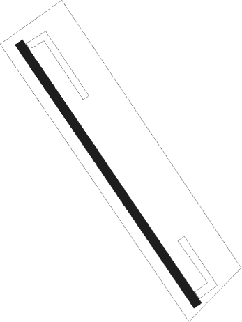
Buenos Aires - Lujan
Airport details
| Country | Argentina |
| State | Buenos Aires |
| Region | SA |
| Airspace | Ezeiza Ctr |
| Municipality | Luján |
| Elevation | 82ft (25m) |
| Timezone | GMT -3 |
| Coordinates | -34.55118, -59.07838 |
| Magnetic var | |
| Type | land |
| Available since | X-Plane v10.40 |
| ICAO code | SA8Y |
| IATA code | n/a |
| FAA code | n/a |
Communication
Nearby beacons
| code | identifier | dist | bearing | frequency |
|---|---|---|---|---|
| ENO | MARIANO MORENO VOR/DME | 14.2 | 92° | 112.90 |
| PAL | EL PALOMAR (BUENOS AIRES) VOR/DME | 23.2 | 97° | 115.20 |
| FDO | SAN FERNANDO VOR/DME | 25.1 | 79° | 114.40 |
| OC | EZEIZA INTL MINISTRO PISTARINI NDB | 26.7 | 120° | 330 |
| SNT | SAN ANTONIO DE ARECO VOR/DME | 26.7 | 312° | 117.70 |
| C | EZEIZA INTL MINISTRO PISTARINI NDB | 29.9 | 117° | 305 |
| EZE | EZEIZA VOR/DME | 31.4 | 117° | 116.50 |
| P | JORGE NEWBERY AEROPARQUE(BUENO NDB | 31.6 | 90° | 280 |
| OA | EZEIZA INTL MINISTRO PISTARINI NDB | 34.8 | 121° | 270 |
| N | JORGE NEWBERY AEROPARQUE(BUENO NDB | 35.1 | 93° | 375 |
| ILM | QUILMES NDB | 42.5 | 101° | 210 |
Disclaimer
The information on this website is not for real aviation. Use this data with the X-Plane flight simulator only! Data taken with kind consent from X-Plane 12 source code and data files. Content is subject to change without notice.
