Miramar
Airport details
| Country | Argentina |
| State | Buenos Aires |
| Region | SA |
| Airspace | Ezeiza Ctr |
| Municipality | Partido de General Alvarado |
| Elevation | 41ft (12m) |
| Timezone | GMT -3 |
| Coordinates | -38.22578, -57.87098 |
| Magnetic var | |
| Type | land |
| Available since | X-Plane v10.40 |
| ICAO code | SAEM |
| IATA code | n/a |
| FAA code | n/a |
Communication
Nearby Points of Interest:
Juan Carlos Castagnino Municipal Museum of Art
-Capilla de Santa Cecilia
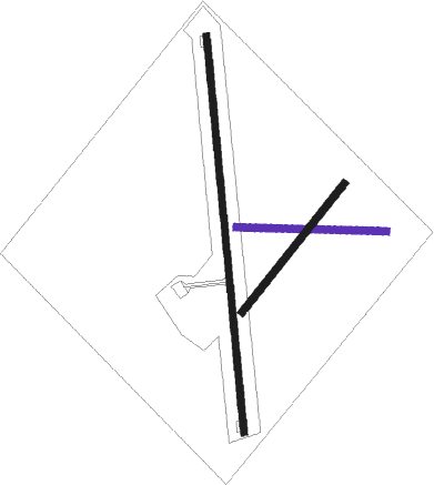
Runway info
Runway 18 / 36  | ||
| length | 1863m (6112ft) | |
| bearing | 179° / 359° | |
| width | 31m (102ft) | |
| surface | asphalt | |
| displ threshold | 96m (315ft) / 96m (315ft) | |
| Runway 09 / 27 | ||
| length | 702m (2303ft) | |
| bearing | 95° / 275° | |
| width | 34m (112ft) | |
| surface | dirt | |
| Runway 04 / 22 | ||
| length | 769m (2523ft) | |
| bearing | 50° / 230° | |
| width | 34m (112ft) | |
| surface | dirt | |
| displ threshold | 110m (361ft) / 0m (0ft) | |
Nearby beacons
| code | identifier | dist | bearing | frequency |
|---|---|---|---|---|
| MDP | MAR DEL PLATA VOR/DME | 22.5 | 45° | 116.20 |
| GES | VILLA GESSELL NDB | 71.8 | 41° | 242 |
Disclaimer
The information on this website is not for real aviation. Use this data with the X-Plane flight simulator only! Data taken with kind consent from X-Plane 12 source code and data files. Content is subject to change without notice.