Malargue - Comodoro D Ricardo Salomon
Airport details
| Country | Argentina |
| State | Mendoza |
| Region | SA |
| Airspace | Mendoza Ctr |
| Municipality | Malargüe |
| Elevation | 4683ft (1427m) |
| Timezone | GMT -3 |
| Coordinates | -35.49528, -69.57306 |
| Magnetic var | |
| Type | land |
| Available since | X-Plane v10.40 |
| ICAO code | SAMM |
| IATA code | LGS |
| FAA code | n/a |
Communication
| Comodoro D Ricardo Salomon ATC Tower | 118.250 |
Nearby Points of Interest:
Llancanelo Lake
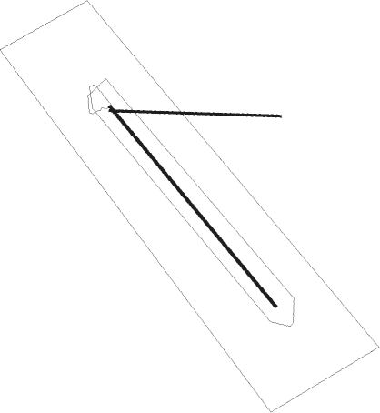
Runway info
Runway 14 / 32  | ||
| length | 2648m (8688ft) | |
| bearing | 139° / 319° | |
| width | 30m (98ft) | |
| surface | asphalt | |
| displ threshold | 471m (1545ft) / 0m (0ft) | |
| blast zone | 0m (0ft) / 235m (771ft) | |
| Runway 09 / 27 | ||
| length | 1747m (5732ft) | |
| bearing | 95° / 275° | |
| width | 20m (66ft) | |
| surface | asphalt | |
Nearby beacons
| code | identifier | dist | bearing | frequency |
|---|---|---|---|---|
| MLG | MALARGUE VOR/DME | 0.6 | 329° | 117.20 |
Departure and arrival routes
| Transition altitude | 9000ft |
| STAR starting points | distance | inbound heading | |
|---|---|---|---|
| RW32 | |||
| OPSUL1 | 14.4 | 322° | |
Disclaimer
The information on this website is not for real aviation. Use this data with the X-Plane flight simulator only! Data taken with kind consent from X-Plane 12 source code and data files. Content is subject to change without notice.