Perito Moreno
Airport details
| Country | Argentina |
| State | Santa Cruz Province |
| Region | SA |
| Airspace | Comodoro Rivadavia Ctr |
| Municipality | Lago Buenos Aires |
| Elevation | 1410ft (430m) |
| Timezone | GMT -3 |
| Coordinates | -46.53830, -70.98245 |
| Magnetic var | |
| Type | land |
| Available since | X-Plane v10.40 |
| ICAO code | SAWP |
| IATA code | PMQ |
| FAA code | n/a |
Communication
| Perito Moreno Tower | 118.100 |
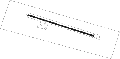
Runway info
| Runway 10 / 28 | ||
| length | 1693m (5554ft) | |
| bearing | 106° / 286° | |
| width | 30m (98ft) | |
| surface | asphalt | |
| displ threshold | 59m (194ft) / 0m (0ft) | |
Nearby beacons
| code | identifier | dist | bearing | frequency |
|---|---|---|---|---|
| PTM | PERITO MORENO NDB | 0.1 | 298° | 285 |
| BAL | BALMACEDA NDB | 47.6 | 311° | 390 |
| BAL | BALMACEDA VOR/DME | 48.2 | 311° | 115.50 |
| RMY | RIO MAYO NDB | 58.3 | 41° | 290 |
Disclaimer
The information on this website is not for real aviation. Use this data with the X-Plane flight simulator only! Data taken with kind consent from X-Plane 12 source code and data files. Content is subject to change without notice.