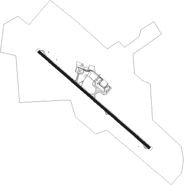
João Pessoa - Presidente Castro Pinto
Airport details
| Country | Brazil |
| State | Paraíba |
| Region | SB |
| Airspace | Recife Ctr |
| Municipality | Bayeux |
| Elevation | 213ft (65m) |
| Timezone | GMT -3 |
| Coordinates | -7.14833, -34.95028 |
| Magnetic var | |
| Type | land |
| Available since | X-Plane v10.40 |
| ICAO code | SBJP |
| IATA code | JPA |
| FAA code | n/a |
Communication
| Presidente Castro Pinto PESSOA Tower | 118.300 |
| Presidente Castro Pinto PESSOA CON | 118.300 |
Nearby Points of Interest:
Monastery of St. Benedict
-Gunpowder Storehouse
-Mirante do Atalaia de Forte Velho
-Ingá Stone
Nearby beacons
| code | identifier | dist | bearing | frequency |
|---|---|---|---|---|
| JPS | PESSOA DME | 0.1 | 53° | 114 |
| JPS | JOAO PESSOA NDB | 0.4 | 344° | 320 |
| YGA | DME | 41.9 | 175° | 112.90 |
| CPG | CAMPINA GRANDE NDB | 56.5 | 263° | 230 |
| IF | IBURA (RECIFE) NDB | 57.9 | 179° | 220 |
| REC | RECIFE VOR/DME | 59.3 | 179° | 116.90 |
| VSA | DE SANTO ANTAO DME | 60.9 | 199° | 113.70 |
Departure and arrival routes
| Transition altitude | 5000ft |
| Transition level | 50ft |
| SID end points | distance | outbound heading | |
|---|---|---|---|
| RW16 | |||
| ANDAD, UGIBO, REC | 59mi | 179° | |
| GELE1A | 49mi | 272° | |
| PAKIL | 53mi | 277° | |
| NTL1, SAFUC1, TOREM | 77mi | 346° | |
| RW34 | |||
| REC, UGIBO, ANDAD | 59mi | 179° | |
| PAKIL | 53mi | 277° | |
| SAFUC1, TOREM, NTL1 | 77mi | 346° | |
Instrument approach procedures
| runway | airway (heading) | route (dist, bearing) |
|---|---|---|
| RW16 | JP362 (135°) | JP362 3000ft JP364 (5mi, 135°) 2000ft |
| RW16 | JP369 (106°) | JP369 3100ft JP364 (6mi, 45°) 2000ft |
| RW16 | JP371 (164°) | JP371 3000ft JP364 (6mi, 225°) 2000ft |
| RNAV | JP364 2000ft JP366 (5mi, 135°) 1850ft JP017 (2mi, 135°) 1213ft SBJP (4mi, 135°) 265ft JP367 (11mi, 135°) 3100ft JP367 (turn) 3100ft | |
| RW34 | JP002 (286°) | JP002 4000ft JP009 (6mi, 225°) 2000ft |
| RW34 | JP003 (345°) | JP003 4000ft JP009 (6mi, 45°) 2000ft |
| RW34 | JP006 (315°) | JP006 4000ft JP009 (6mi, 315°) 2000ft |
| RNAV | JP009 2000ft JP011 (5mi, 315°) 1850ft SBJP (6mi, 315°) 259ft JP001 (17mi, 315°) 4000ft JP001 (turn) 4000ft |
Disclaimer
The information on this website is not for real aviation. Use this data with the X-Plane flight simulator only! Data taken with kind consent from X-Plane 12 source code and data files. Content is subject to change without notice.