São Luís - Marechal Cunha Machado
Airport details
| Country | Brazil |
| State | Maranhão |
| Region | SB |
| Airspace | Amazonica Ctr |
| Municipality | São Luís |
| Elevation | 178ft (54m) |
| Timezone | GMT -3 |
| Coordinates | -2.58694, -44.23611 |
| Magnetic var | |
| Type | land |
| Available since | X-Plane v10.40 |
| ICAO code | SBSL |
| IATA code | SLZ |
| FAA code | n/a |
Communication
| Marechal Cunha Machado SAO LUIS Tower | 118.900 |
| Marechal Cunha Machado SAO LUIS Approach | 119.100 |
Approach frequencies
| ILS-cat-I | RW06 | 109.3 | 18.00mi |
| 3° GS | RW06 | 109.3 | 18.00mi |
Nearby Points of Interest:
Casa das Minas
-Capela de São José da Quinta das Laranjeiras
-Convent of Mercy
-Academia Maranhense de Letras
-Praça João Lisboa
-Episcopal Palace
-Catedral de São Luís
-Praça Benedito Leite
-Historic Centre of São Luís
-Forte da Vera Cruz do Itapecuru
-Baixada Maranhense Environmental Protection Area
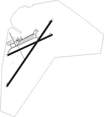
Runway info
Runway 06 / 24  | ||
| length | 2402m (7881ft) | |
| bearing | 39° / 219° | |
| width | 45m (148ft) | |
| surface | asphalt | |
| blast zone | 60m (197ft) / 60m (197ft) | |
| Runway 09 / 27 | ||
| length | 1474m (4836ft) | |
| bearing | 70° / 250° | |
| width | 45m (148ft) | |
| surface | asphalt | |
| displ threshold | 85m (279ft) / 0m (0ft) | |
| blast zone | 58m (190ft) / 61m (200ft) | |
Nearby beacons
| code | identifier | dist | bearing | frequency |
|---|---|---|---|---|
| SLI | SAO LUIS VOR/DME | 0.2 | 239° | 113.50 |
| ALC | ALCANTARA NDB | 15.7 | 322° | 230 |
| ALR | ALCANTARA VOR/DME | 16.1 | 323° | 116.70 |
Departure and arrival routes
| Transition altitude | 3000ft |
| SID end points | distance | outbound heading | |
|---|---|---|---|
| RW06 | |||
| TEKI1A | 40mi | 180° | |
| RW24 | |||
| GERK1A | 40mi | 180° | |
Instrument approach procedures
| runway | airway (heading) | route (dist, bearing) |
|---|---|---|
| RW06-Z | SL041 (10°) | SL041 4000ft SL044 (6mi, 309°) 2500ft |
| RW06-Z | SL042 (68°) | SL042 4000ft SL044 (6mi, 129°) 2500ft |
| RW06-Z | SL043 (39°) | SL043 4000ft SL044 (6mi, 39°) 2500ft |
| RNAV | SL044 2500ft DIKET (5mi, 39°) 1820ft SBSL (6mi, 39°) 227ft (2660mi, 87°) 1500ft SL047 (2645mi, 267°) 4000ft SL047 (turn) 4000ft | |
| RW24-Y | SL021 (189°) | SL021 4000ft SL019 (6mi, 129°) 2500ft |
| RW24-Y | SL022 (249°) | SL022 4000ft SL019 (6mi, 309°) 2500ft |
| RW24-Y | SL023 (219°) | SL023 4000ft SL019 (6mi, 219°) 2500ft |
| RNAV | SL019 2500ft SL017 (5mi, 219°) 1790ft SBSL (6mi, 219°) 193ft SL043 (17mi, 219°) 4000ft SL043 (turn) 4000ft |
Disclaimer
The information on this website is not for real aviation. Use this data with the X-Plane flight simulator only! Data taken with kind consent from X-Plane 12 source code and data files. Content is subject to change without notice.