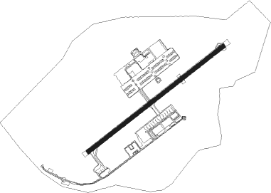
Taubaté - Base De Aviacao De Taubate
Airport details
| Country | Brazil |
| State | São Paulo |
| Region | SB |
| Airspace | Curitiba Ctr |
| Municipality | Taubaté |
| Elevation | 1908ft (582m) |
| Timezone | GMT -3 |
| Coordinates | -23.03871, -45.51609 |
| Magnetic var | |
| Type | land |
| Available since | X-Plane v10.40 |
| ICAO code | SBTA |
| IATA code | QHP |
| FAA code | n/a |
Communication
| Base de Aviacao de Taubate Ground Control | 121.700 |
| Base de Aviacao de Taubate Tower | 119.900 |
Nearby Points of Interest:
Palacete Palmeira
-Casa Térrea à Rua Frei Galvão
-Casa do Ajudante Braga
-Estação Ferroviária de Cachoeira Paulista
Nearby beacons
| code | identifier | dist | bearing | frequency |
|---|---|---|---|---|
| TAU | TAUBATE VOR/DME | 0.2 | 50° | 112.60 |
| TBE | TAUBATE NDB | 0.4 | 185° | 430 |
| PND | VIBASA (PINDAMONHANGABA) NDB | 12.8 | 45° | 205 |
| SCP | SAO JOSE (SAO JOSE DOS CA VOR/DME | 22.2 | 241° | 115.40 |
| GGT | GUARATINGUETA NDB | 22.4 | 50° | 275 |
| BCO | BONSUCESSO (SAO PAULO) VOR/DME | 52.8 | 247° | 116 |
Disclaimer
The information on this website is not for real aviation. Use this data with the X-Plane flight simulator only! Data taken with kind consent from X-Plane 12 source code and data files. Content is subject to change without notice.