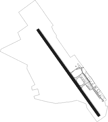
Uberaba
Airport details
| Country | Brazil |
| State | Minas Gerais |
| Region | SB |
| Airspace | Brasilia Ctr |
| Municipality | Uberaba |
| Elevation | 2653ft (809m) |
| Timezone | GMT -3 |
| Coordinates | -19.76472, -47.96611 |
| Magnetic var | |
| Type | land |
| Available since | X-Plane v10.40 |
| ICAO code | SBUR |
| IATA code | UBA |
| FAA code | n/a |
Communication
| Uberaba Tower | 118.500 |
| Uberaba Approach | 120.800 |
Nearby beacons
| code | identifier | dist | bearing | frequency |
|---|---|---|---|---|
| URB | UBERABA NDB | 0.3 | 96° | 235 |
| ARX | ARAXA (UBERABA) VOR/DME | 51.3 | 85° | 117 |
| ULD | UBERLANDIA NDB | 54.7 | 343° | 350 |
| ULD | UBERLANDIA VOR/DME | 55.2 | 344° | 116.10 |
Instrument approach procedures
| runway | airway (heading) | route (dist, bearing) |
|---|---|---|
| RW17 | UR464 (123°) | UR464 5000ft UR463 (6mi, 80°) 5000ft |
| RW17 | UR466 (148°) | UR466 5000ft UR463 (5mi, 148°) 5000ft |
| RW17 | UR467 (173°) | UR467 5000ft UR463 (6mi, 220°) 5000ft |
| RNAV | UR463 5000ft UR462 (5mi, 148°) 4280ft SBUR (5mi, 148°) 2677ft UR461 (5mi, 147°) 5000ft UR461 (turn) 5000ft | |
| RW35 | UR474 (303°) | UR474 5000ft UR473 (6mi, 260°) 5000ft |
| RW35 | UR476 (327°) | UR476 5000ft UR473 (5mi, 328°) 5000ft |
| RW35 | UR477 (353°) | UR477 5000ft UR473 (6mi, 41°) 5000ft |
| RNAV | UR473 5000ft UR472 (5mi, 328°) 4300ft SBUR (6mi, 327°) 2696ft UR471 (4mi, 328°) 5000ft UR471 (turn) 5000ft |
Disclaimer
The information on this website is not for real aviation. Use this data with the X-Plane flight simulator only! Data taken with kind consent from X-Plane 12 source code and data files. Content is subject to change without notice.