Ayacara
Airport details
| Country | Chile |
| State | Los Lagos Region |
| Region | SC |
| Airspace | Puerto Montt Ctr |
| Municipality | Chaitén |
| Elevation | 34ft (10m) |
| Timezone | GMT -3 |
| Coordinates | -42.31083, -72.79028 |
| Magnetic var | |
| Type | land |
| Available since | X-Plane v10.40 |
| ICAO code | SCAY |
| IATA code | n/a |
| FAA code | n/a |
Communication
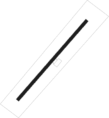
Runway info
| Runway 03 / 21 | ||
| length | 576m (1890ft) | |
| bearing | 54° / 234° | |
| width | 17m (56ft) | |
| surface | asphalt | |
| displ threshold | 91m (299ft) / 0m (0ft) | |
Nearby beacons
| code | identifier | dist | bearing | frequency |
|---|---|---|---|---|
| TEN | CHAITEN VOR/DME | 28.8 | 186° | 112.30 |
| MPI | MOCOPULLI VOR/DME | 41 | 268° | 113.30 |
| MON | PUERTO MONTT VOR/DME | 54.6 | 341° | 115.70 |
Disclaimer
The information on this website is not for real aviation. Use this data with the X-Plane flight simulator only! Data taken with kind consent from X-Plane 12 source code and data files. Content is subject to change without notice.