Caleta Tortel - Enrique Meyer Soto
Airport details
| Country | Chile |
| State | Aysén Region |
| Region | SC |
| Airspace | Punta Arenas Ctr |
| Municipality | Tortel |
| Elevation | 2ft (1m) |
| Timezone | GMT -3 |
| Coordinates | -47.78667, -73.53250 |
| Magnetic var | |
| Type | land |
| Available since | X-Plane v10.40 |
| ICAO code | SCCR |
| IATA code | n/a |
| FAA code | n/a |
Communication
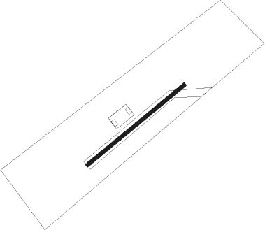
Runway info
| Runway 04 / 22 | ||
| length | 601m (1972ft) | |
| bearing | 65° / 245° | |
| width | 18m (59ft) | |
| surface | gravel | |
Disclaimer
The information on this website is not for real aviation. Use this data with the X-Plane flight simulator only! Data taken with kind consent from X-Plane 12 source code and data files. Content is subject to change without notice.