Santiago - Chicureo
Airport details
| Country | Chile |
| State | Santiago Metropolitan Region |
| Region | SC |
| Airspace | Santiago Ctr |
| Municipality | Colina |
| Elevation | 1886ft (575m) |
| Timezone | GMT -3 |
| Coordinates | -33.27134, -70.64983 |
| Magnetic var | |
| Type | land |
| Available since | X-Plane v10.40 |
| ICAO code | SCHC |
| IATA code | n/a |
| FAA code | n/a |
Communication
Nearby Points of Interest:
Palacio Riesco
-Casa Consistorial de Conchalí
-Patio 29
-Población Los Castaños
-Casa de Av. Francia Nº 1442
-Antiguo Hospital San José
-Piscina Tupahue
-Casco histórico del Cementerio General
-Capilla del antiguo Lazareto de San Vicente de Paul
-Iglesia La Viñita
-Manuel Foster Observatory
-Cervecería Ebner
-Casa de Asturias 400
-Funicular de Santiago
-Palacio Schacht
-Casa del Pilar de Esquina, Recoleta
-Instituto de Higiene
-Piscina Escolar de la Universidad de Chile
-Casona de Las Condes
-Benedictine Monastery of the Holy Trinity (Las Condes)
-Casa presidencial de Tomás Moro
-Población León XIII
-Puente de Cal y Canto
-Iglesia de la Epifanía del Señor
-Hotel Bristol, Santiago de Chile
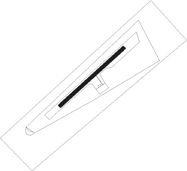
Runway info
| Runway 05 / 23 | ||
| length | 751m (2464ft) | |
| bearing | 57° / 237° | |
| width | 30m (98ft) | |
| surface | grass | |
Nearby beacons
| code | identifier | dist | bearing | frequency |
|---|---|---|---|---|
| AMB | SANTIAGO VOR/DME | 11.1 | 222° | 116.10 |
| PDH | PUDAHUEL (SANTIAGO) VOR/DME | 11.4 | 227° | 117.20 |
| BQE | EL BOSQUE VOR/DME | 17.6 | 188° | 117.50 |
| TBN | TABON VOR/DME | 23.2 | 332° | 113.90 |
| VDM | VINA DEL MAR VOR/DME | 45.8 | 292° | 114.90 |
| SAL | SALINAS NDB | 47.7 | 288° | 390 |
| VTN | VENTANAS VOR/DME | 53.2 | 302° | 113.30 |
| SNO | SANTO DOMINGO NDB | 53.3 | 248° | 355 |
| DGO | DOMINGO VOR/DME | 53.5 | 248° | 112.30 |
Disclaimer
The information on this website is not for real aviation. Use this data with the X-Plane flight simulator only! Data taken with kind consent from X-Plane 12 source code and data files. Content is subject to change without notice.