Puerto Ingeniero Ibañez - Puerto Ingeniero Ibáñez
Airport details
| Country | Chile |
| State | Aysén Region |
| Region | SC |
| Airspace | Puerto Montt Ctr |
| Municipality | Río Ibáñez |
| Elevation | 818ft (249m) |
| Timezone | GMT -3 |
| Coordinates | -46.29389, -71.94945 |
| Magnetic var | |
| Type | land |
| Available since | X-Plane v10.40 |
| ICAO code | SCII |
| IATA code | n/a |
| FAA code | n/a |
Communication
Nearby Points of Interest:
Bodegas portuarias del río Ibáñez
-Campamento minero Puerto Cristal
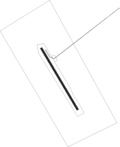
Runway info
| Runway 15 / 33 | ||
| length | 720m (2362ft) | |
| bearing | 145° / 325° | |
| width | 20m (66ft) | |
| surface | gravel | |
Nearby beacons
| code | identifier | dist | bearing | frequency |
|---|---|---|---|---|
| BAL | BALMACEDA NDB | 24.8 | 34° | 390 |
| BAL | BALMACEDA VOR/DME | 24.9 | 32° | 115.50 |
| PTM | PERITO MORENO NDB | 42.4 | 104° | 285 |
Disclaimer
The information on this website is not for real aviation. Use this data with the X-Plane flight simulator only! Data taken with kind consent from X-Plane 12 source code and data files. Content is subject to change without notice.