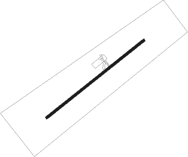
Santo Domingo
Airport details
| Country | Chile |
| State | Valparaiso Region |
| Region | SC |
| Airspace | Santiago Ctr |
| Municipality | Santo Domingo |
| Elevation | 246ft (75m) |
| Timezone | GMT -3 |
| Coordinates | -33.65667, -71.61584 |
| Magnetic var | |
| Type | land |
| Available since | X-Plane v10.40 |
| ICAO code | SCSN |
| IATA code | n/a |
| FAA code | n/a |
Communication
| Santo Domingo Ground Control | 121.900 |
| Santo Domingo Tower | 118.500 |
Approach frequencies
| ILS-cat-I | RW23 | 109.9 | 18.00mi |
| 3.1° GS | RW23 | 109.9 | 18.00mi |
Nearby beacons
| code | identifier | dist | bearing | frequency |
|---|---|---|---|---|
| DGO | DOMINGO VOR/DME | 0 | 112° | 112.30 |
| SNO | SANTO DOMINGO NDB | 0.3 | 29° | 355 |
| SAL | SALINAS NDB | 40.4 | 7° | 390 |
| PDH | PUDAHUEL (SANTIAGO) VOR/DME | 43.2 | 73° | 117.20 |
| VDM | VINA DEL MAR VOR/DME | 43.3 | 11° | 114.90 |
| AMB | SANTIAGO VOR/DME | 43.9 | 74° | 116.10 |
| BQE | EL BOSQUE VOR/DME | 46.6 | 84° | 117.50 |
| VTN | VENTANAS VOR/DME | 55.4 | 7° | 113.30 |
| TBN | TABON VOR/DME | 59.1 | 47° | 113.90 |
Instrument approach procedures
| runway | airway (heading) | route (dist, bearing) |
|---|---|---|
| RW05 | ASBIB (61°) | ASBIB 3000ft |
| RW05 | UTLOR (38°) | UTLOR ASBIB (4mi, 321°) 3000ft |
| RNAV | ASBIB 3000ft DODMO (5mi, 61°) 1600ft SCSN (4mi, 61°) 264ft (4491mi, 65°) 1000ft ASBIB (4500mi, 245°) 3000ft ASBIB (turn) 3000ft | |
| RW23 | EDNOD (219°) | EDNOD GELAX (4mi, 141°) 3500ft |
| RW23 | ISROL (260°) | ISROL GELAX (4mi, 321°) 3500ft |
| RNAV | GELAX 3500ft SN068 (3mi, 241°) 2500ft ASBOX (2mi, 241°) 1900ft SN028 (2mi, 241°) 1000ft SCSN (3mi, 241°) 276ft (4491mi, 65°) 1500ft EDNOD (4484mi, 245°) 3500ft EDNOD (turn) 3500ft |
Disclaimer
The information on this website is not for real aviation. Use this data with the X-Plane flight simulator only! Data taken with kind consent from X-Plane 12 source code and data files. Content is subject to change without notice.
