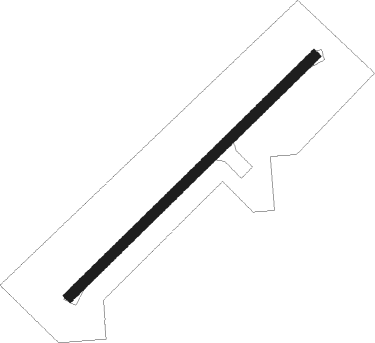
Itapetininga - Fazenda Guara Do Pinhal
Airport details
| Country | Brazil |
| State | São Paulo |
| Region | |
| Airspace | Curitiba Ctr |
| Municipality | Itapetininga |
| Elevation | 2037ft (621m) |
| Timezone | GMT -3 |
| Coordinates | -23.66751, -48.07579 |
| Magnetic var | |
| Type | land |
| Available since | X-Plane v10.40 |
| ICAO code | SDEJ |
| IATA code | n/a |
| FAA code | n/a |
Communication
Nearby Points of Interest:
Carlos Botelho State Park
-Atlantic Forest South-East Reserves
Nearby beacons
| code | identifier | dist | bearing | frequency |
|---|---|---|---|---|
| SCB | SOROCABA (SAO PAULO TMA) VOR/DME | 39.5 | 77° | 115.20 |
| RGI | DME | 53.3 | 165° | 113 |
| IK | BENTO (CAMPINAS) NDB | 64.2 | 51° | 370 |
| CPN | CAMPINAS VOR/DME | 65.5 | 55° | 112 |
Disclaimer
The information on this website is not for real aviation. Use this data with the X-Plane flight simulator only! Data taken with kind consent from X-Plane 12 source code and data files. Content is subject to change without notice.