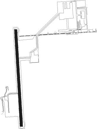
São Carlos - Sao Carlos
Airport details
| Country | Brazil |
| State | São Paulo |
| Region | SB |
| Airspace | Brasilia Ctr |
| Municipality | São Carlos |
| Elevation | 2646ft (807m) |
| Timezone | GMT -3 |
| Coordinates | -21.87639, -47.90333 |
| Magnetic var | |
| Type | land |
| Available since | X-Plane v10.40 |
| ICAO code | SDSC |
| IATA code | QSC |
| FAA code | n/a |
Communication
| Sao Carlos Academia Approach | 120.100 |
| Sao Carlos Academia Approach | 122.400 |
Nearby Points of Interest:
Palacete Conde do Pinhal
-Estação Ferroviária de Araraquara
-Fazenda do Pinhal
-Casa Térrea da Rua Padre Duarte
-Residência Grassmann
-Fazenda Grão Mogol
-Sobrado do Barão de Dourados
Nearby beacons
| code | identifier | dist | bearing | frequency |
|---|---|---|---|---|
| AAQ | ARARAQUARA NDB | 13.7 | 285° | 205 |
| PIR | PIRASSUNUNGA VOR/DME | 31.8 | 101° | 115.80 |
| PSN | PIRASSUNUNGA NDB | 32.2 | 101° | 310 |
| RCL | RIO CLARO NDB | 38.2 | 148° | 280 |
| RPR | RIBEIRAO (RIBEIRAO PRETO) NDB | 44.6 | 10° | 330 |
Disclaimer
The information on this website is not for real aviation. Use this data with the X-Plane flight simulator only! Data taken with kind consent from X-Plane 12 source code and data files. Content is subject to change without notice.