Ubatuba
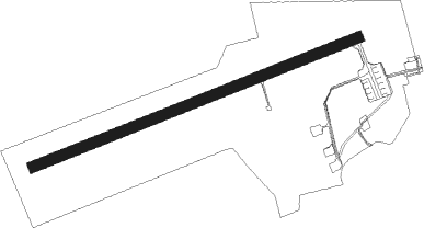
Airport details
| Country | Brazil |
| State | São Paulo |
| Region | SB |
| Airspace | Curitiba Ctr |
| Municipality | Ubatuba |
| Elevation | 13ft (4m) |
| Timezone | GMT -3 |
| Coordinates | -23.44139, -45.07611 |
| Magnetic var | |
| Type | land |
| Available since | X-Plane v10.40 |
| ICAO code | SDUB |
| IATA code | UBT |
| FAA code | n/a |
Communication
| Ubatuba UNICOM | 122.800 |
Nearby Points of Interest:
Unidades Habitacionais de Picinguaba
-Santa Casa de Misericórdia de Paraty
-Casa com Teto Pintado
Nearby beacons
| code | identifier | dist | bearing | frequency |
|---|---|---|---|---|
| TBE | TAUBATE NDB | 34 | 312° | 430 |
| TAU | TAUBATE VOR/DME | 34.2 | 313° | 112.60 |
| PND | VIBASA (PINDAMONHANGABA) NDB | 37 | 333° | 205 |
| GGT | GUARATINGUETA NDB | 39.9 | 348° | 275 |
| SCP | SAO JOSE (SAO JOSE DOS CA VOR/DME | 44.9 | 285° | 115.40 |
Disclaimer
The information on this website is not for real aviation. Use this data with the X-Plane flight simulator only! Data taken with kind consent from X-Plane 12 source code and data files. Content is subject to change without notice.