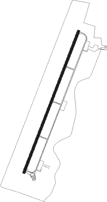
Taura
Airport details
| Country | Ecuador |
| State | Guayas |
| Region | SE |
| Airspace | Guayaquil Ctr |
| Municipality | Duran |
| Elevation | 56ft (17m) |
| Timezone | GMT -5 |
| Coordinates | -2.27329, -79.68630 |
| Magnetic var | |
| Type | land |
| Available since | X-Plane v10.40 |
| ICAO code | SETA |
| IATA code | n/a |
| FAA code | n/a |
Communication
Nearby beacons
| code | identifier | dist | bearing | frequency |
|---|---|---|---|---|
| R | GUAYAQUIL NDB | 13.8 | 307° | 315 |
| GYV | GUAYAQUIL VOR/DME | 13.9 | 309° | 115.90 |
| PAL | PALMA (GUAYAQUIL) NDB | 16.5 | 334° | 365 |
| SOL | CHONGON (GUAYAQUIL) NDB | 23.5 | 276° | 280 |
| CUV | CUENCA VOR/DME | 57.1 | 126° | 114.50 |
| CUN | CUENCA NDB | 57.2 | 126° | 410 |
Disclaimer
The information on this website is not for real aviation. Use this data with the X-Plane flight simulator only! Data taken with kind consent from X-Plane 12 source code and data files. Content is subject to change without notice.