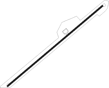
Tulcán - Teniente Coronel L.a Mantilla
Airport details
| Country | Ecuador |
| State | Carchi |
| Region | SE |
| Airspace | Guayaquil Ctr |
| Municipality | Urbina |
| Elevation | 9647ft (2940m) |
| Timezone | GMT -5 |
| Coordinates | 0.80944, -77.70834 |
| Magnetic var | |
| Type | land |
| Available since | X-Plane v10.40 |
| ICAO code | SETU |
| IATA code | TUA |
| FAA code | n/a |
Communication
| Teniente Coronel L.A Mantilla TULCAN Tower | 122.000 |
| Teniente Coronel L.A Mantilla ANDES Approach | 120.100 |
Nearby beacons
| code | identifier | dist | bearing | frequency |
|---|---|---|---|---|
| TLC | TULCAN NDB | 1.5 | 56° | 418 |
| SLI | SAN LUIS (IPIALES) NDB | 3.4 | 35° | 244 |
| IPI | IPIALES VOR/DME | 3.8 | 34° | 113.60 |
| PSO | PASTO VOR/DME | 43.3 | 35° | 113.40 |
| OLM | OLMEDO NDB | 44.6 | 211° | 400 |
| QNV | NORTE VOR/DME | 61.6 | 219° | 117.40 |
| LAR | LAGO AGRIO (NUEVA LOJA) NDB | 66.1 | 131° | 412 |
| LAV | LAGO AGRIO (NUEVA LOJA) VOR/DME | 66.5 | 130° | 112.30 |
| MER | MERCADERES VOR/DME | 67.6 | 30° | 116.30 |
| QIT | CONDORCOCHA (QUITO) VOR/DME | 70.1 | 223° | 115.30 |
Disclaimer
The information on this website is not for real aviation. Use this data with the X-Plane flight simulator only! Data taken with kind consent from X-Plane 12 source code and data files. Content is subject to change without notice.
