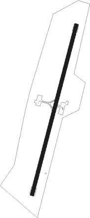
Itaipú - Itaipu
Airport details
| Country | Paraguay |
| State | Alto Paraná |
| Region | SG |
| Airspace | Asuncion Ctr |
| Municipality | Hernandarias |
| Elevation | 762ft (232m) |
| Timezone | GMT -4 |
| Coordinates | -25.40815, -54.61906 |
| Magnetic var | |
| Type | land |
| Available since | X-Plane v10.40 |
| ICAO code | SGIB |
| IATA code | n/a |
| FAA code | n/a |
Communication
| Itaipu GUARANI Approach | 120.600 |
| Itaipu GUARANI Approach | 119.300 |
Nearby beacons
| code | identifier | dist | bearing | frequency |
|---|---|---|---|---|
| ITU | ITAIPU NDB | 0.1 | 261° | 225 |
| ALG | CIUDAD DEL ESTE NDB | 8.1 | 286° | 293 |
| FOZ | FOZ (FOZ DO IGUACU) VOR/DME | 12.2 | 147° | 112.10 |
| VES | MINGA GUAZU VOR/DME | 12.9 | 257° | 116.30 |
| CDE | CIUDAD DEL ESTE NDB | 14 | 254° | 200 |
| IGU | CATARATAS DEL IGUAZU VOR/DME | 20.8 | 158° | 114.10 |
| Z | MAYOR D CARLOS EDUARDO KRAUSE NDB | 22.4 | 153° | 310 |
Instrument approach procedures
| runway | airway (heading) | route (dist, bearing) |
|---|---|---|
| RW03-Z | IB337 (43°) | IB337 3000ft IB336 (5mi, 89°) 2390ft |
| RNAV | IB336 2390ft IB335 (5mi, 21°) 2390ft SGIB (5mi, 21°) 795ft (3511mi, 65°) 2000ft IB337 (3522mi, 245°) 3000ft IB337 (turn) 3000ft | |
| RW21-Z | IB227 (178°) | IB227 3000ft IB226 (5mi, 127°) 2500ft |
| RNAV | IB226 2500ft IB225 (5mi, 201°) 2370ft SGIB (5mi, 201°) 771ft (3511mi, 65°) 2000ft IB227 (3508mi, 245°) 3000ft IB227 (turn) 3000ft |
Disclaimer
The information on this website is not for real aviation. Use this data with the X-Plane flight simulator only! Data taken with kind consent from X-Plane 12 source code and data files. Content is subject to change without notice.
