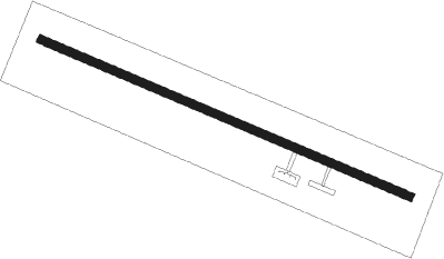
Puerto Leguízamo - Caucaya
Airport details
| Country | Colombia |
| State | Putumayo |
| Region | SK |
| Airspace | Bogota Ctr |
| Municipality | Puerto Leguízamo |
| Elevation | 573ft (175m) |
| Timezone | GMT -5 |
| Coordinates | -0.18228, -74.77077 |
| Magnetic var | |
| Type | land |
| Available since | X-Plane v10.40 |
| ICAO code | SKLG |
| IATA code | LQM |
| FAA code | n/a |
Communication
Nearby beacons
| code | identifier | dist | bearing | frequency |
|---|---|---|---|---|
| PLG | PUERTO LEGUIZAMO VOR/DME | 0.3 | 307° | 112.80 |
| TPU | TIPUTINI NDB | 57.8 | 232° | 375 |
| TQS | TRES ESQUINAS VOR/DME | 62 | 333° | 114.20 |
| TQS | TRES ESQUINAS NDB | 62.3 | 333° | 341 |
Departure and arrival routes
| Transition altitude | 18000ft |
| Transition level | 19000ft |
| SID end points | distance | outbound heading | |
|---|---|---|---|
| RW30 | |||
| VAKI1A | 29mi | 347° | |
| STAR starting points | distance | inbound heading | |
|---|---|---|---|
| RW30 | |||
| VAKI1B | 28.5 | 167° | |
Instrument approach procedures
| runway | airway (heading) | route (dist, bearing) |
|---|---|---|
| RW30 | ITAMU (272°) | ITAMU 6000ft BUVMU (5mi, 207°) 4000ft |
| RW30 | UTMER (298°) | UTMER 6000ft BUVMU (5mi, 298°) 4000ft |
| RNAV | BUVMU 4000ft MOXUB (5mi, 298°) 2250ft SKLG (5mi, 298°) 667ft ITAMU (11mi, 92°) 6000ft ITAMU (turn) 6000ft |
Disclaimer
The information on this website is not for real aviation. Use this data with the X-Plane flight simulator only! Data taken with kind consent from X-Plane 12 source code and data files. Content is subject to change without notice.
