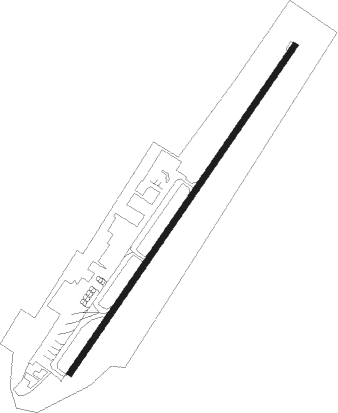
Villavicencio - Vanguardia
Airport details
| Country | Colombia |
| State | Meta |
| Region | SK |
| Airspace | Bogota Ctr |
| Municipality | Villavicencio |
| Elevation | 1394ft (425m) |
| Timezone | GMT -5 |
| Coordinates | 4.16841, -73.61465 |
| Magnetic var | |
| Type | land |
| Available since | X-Plane v10.40 |
| ICAO code | SKVV |
| IATA code | VVC |
| FAA code | n/a |
Communication
| Vanguardia Tower | 118.700 |
| Vanguardia VILLAVICENCIO Approach | 119.300 |
Nearby Points of Interest:
Fundación Gilberto Alzate Avendaño
-Palacio de San Carlos
-General Archive of the Nation
-St. Bartholomew Major College
-National Capitol
-Claustro de San Agustín
-Hospital San Juan de Dios, Bogota
-Palacio Liévano
-Iglesia Veracruz
-Palacio de San Francisco, Bogotá
-Edificio Pedro A. López
-Torres del Parque
-Edificio Peraza
-Observatorio Astronómico Nacional de Colombia
Nearby beacons
| code | identifier | dist | bearing | frequency |
|---|---|---|---|---|
| PY | APIAY NDB | 6.9 | 143° | 250 |
| AP | APIAY NDB | 9.9 | 125° | 270 |
| VVC | VILLAVICENCIO VOR/DME | 15.1 | 114° | 116.70 |
| SOA | SOACHA (BOGOTA) VOR/DME | 47.2 | 303° | 108.60 |
| ZIP | ZIPAQUIRA (BOGOTA) VOR/DME | 55.6 | 336° | 114.70 |
| BOG | BOGOTA VOR/DME | 58.8 | 314° | 113.90 |
Departure and arrival routes
| Transition altitude | 18000ft |
| Transition level | 19000ft |
| SID end points | distance | outbound heading | |
|---|---|---|---|
| RW05 | |||
| ANLA1B | 38mi | 29° | |
| VVC1B, VVC2A | 15mi | 114° | |
| NIPN1A | 35mi | 318° | |
| STAR starting points | distance | inbound heading | |
|---|---|---|---|
| RW05 | |||
| ANLA4A | 37.9 | 209° | |
| RW23 | |||
| OSOV2H | 31.8 | 167° | |
| EVRA2F | 40.9 | 181° | |
| ANLA2C | 37.9 | 209° | |
| UBNO1A | 45.3 | 237° | |
| OPTU1A | 43.2 | 298° | |
| KOTE2A | 46.9 | 305° | |
| UBRI1B | 69.9 | 326° | |
| OGNA1A | 64.3 | 334° | |
Instrument approach procedures
| runway | airway (heading) | route (dist, bearing) |
|---|---|---|
| RW23 | ANKUX (246°) | ANKUX 6000ft DALNA (8mi, 289°) 5000ft |
| RW23 | SILIV (219°) | SILIV 6000ft DALNA (5mi, 219°) 5000ft |
| RNAV | DALNA 5000ft IVREM (7mi, 219°) 3000ft SKVV (6mi, 220°) 1397ft ANKUX (17mi, 66°) 6000ft ANKUX (turn) 6000ft |
Disclaimer
The information on this website is not for real aviation. Use this data with the X-Plane flight simulator only! Data taken with kind consent from X-Plane 12 source code and data files. Content is subject to change without notice.
