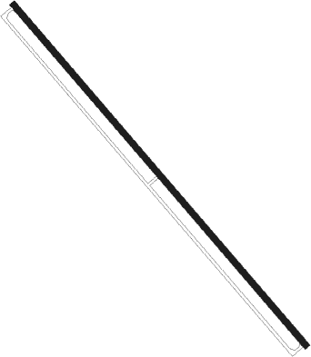
Santa Cruz - El Trompillo
Airport details
| Country | Bolivia |
| State | Santa Cruz |
| Region | SL |
| Airspace | La Paz Ctr |
| Municipality | Santa Cruz de la Sierra |
| Elevation | 1371ft (418m) |
| Timezone | GMT -4 |
| Coordinates | -17.81139, -63.17083 |
| Magnetic var | |
| Type | land |
| Available since | X-Plane v10.40 |
| ICAO code | SLET |
| IATA code | SRZ |
| FAA code | n/a |
Communication
| EL TROMPILLO Ground Control | 121.700 |
| EL TROMPILLO TROMPILLO Tower | 118.300 |
| EL TROMPILLO VIRU VIRU Approach | 119.700 |
Nearby Points of Interest:
Cristo Redentor de Santa Cruz de la Sierra
Nearby beacons
| code | identifier | dist | bearing | frequency |
|---|---|---|---|---|
| VIR | VIRU VIRU (SANTA CRUZ) VOR/DME | 11.2 | 7° | 113.80 |
Instrument approach procedures
| runway | airway (heading) | route (dist, bearing) |
|---|---|---|
| RW34-Z | OGDOV (302°) | OGDOV 5000ft MADSU (5mi, 255°) 5000ft |
| RW34-Z | REKUT (344°) | REKUT 5000ft MADSU (5mi, 35°) 5000ft |
| RW34-Z | TELAV (323°) | TELAV 5000ft MADSU (5mi, 323°) 5000ft |
| RNAV | MADSU 5000ft PORSO (5mi, 323°) 3200ft ILMAX (4mi, 323°) 1769ft TIPRO (16mi, 288°) 4000ft TIPRO (turn) |
Disclaimer
The information on this website is not for real aviation. Use this data with the X-Plane flight simulator only! Data taken with kind consent from X-Plane 12 source code and data files. Content is subject to change without notice.
