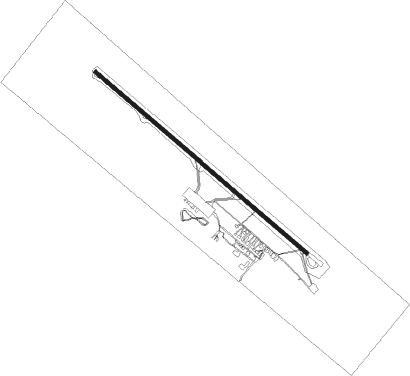
Trinidad
Airport details
| Country | Bolivia |
| State | Beni |
| Region | SL |
| Airspace | La Paz Ctr |
| Municipality | Trinidad |
| Elevation | 507ft (155m) |
| Timezone | GMT -4 |
| Coordinates | -14.81944, -64.91889 |
| Magnetic var | |
| Type | land |
| Available since | X-Plane v10.40 |
| ICAO code | SLTR |
| IATA code | TDD |
| FAA code | n/a |
Communication
| Trinidad Ground Control | 121.900 |
| Trinidad Tower | 118.500 |
| Trinidad Approach | 119.100 |
Runway info
| Runway 14 / 32 | ||
| length | 2403m (7884ft) | |
| bearing | 134° / 314° | |
| width | 30m (98ft) | |
| surface | asphalt | |
Nearby beacons
| code | identifier | dist | bearing | frequency |
|---|---|---|---|---|
| TRI | TRINIDAD VOR/DME | 1.6 | 317° | 115.90 |
Departure and arrival routes
| Transition altitude | 5000ft |
| SID end points | distance | outbound heading | |
|---|---|---|---|
| RW14 | |||
| IREDO1 | 49mi | 148° | |
| EKAVI1, EKAVI2 | 50mi | 203° | |
| IRIVA1 | 50mi | 244° | |
| MOXUS1 | 51mi | 269° | |
| AKRIM1 | 52mi | 311° | |
| KETIP1 | 52mi | 329° | |
| TOBLI1 | 52mi | 334° | |
| MIKAL1 | 52mi | 342° | |
| UBLEX1 | 52mi | 353° | |
| RW32 | |||
| IREDO1 | 49mi | 148° | |
| EKAVI1, EKAVI2 | 50mi | 203° | |
| IRIVA1 | 50mi | 244° | |
| MOXUS1 | 51mi | 269° | |
| AKRIM1 | 52mi | 311° | |
| KETIP1 | 52mi | 329° | |
| TOBLI1 | 52mi | 334° | |
| MIKAL1 | 52mi | 342° | |
| UBLEX1 | 52mi | 353° | |
Instrument approach procedures
| runway | airway (heading) | route (dist, bearing) |
|---|---|---|
| RW14-Z | AKNUP (134°) | AKNUP 3700ft |
| RW14-Z | BODON (110°) | BODON 5000ft AKNUP (5mi, 46°) 3700ft |
| RW14-Z | EDNET (160°) | EDNET 5000ft AKNUP (5mi, 226°) 3700ft |
| RNAV | AKNUP 3700ft GELOP (5mi, 134°) 2200ft SLTR (6mi, 135°) 558ft LIVOS (10mi, 74°) 4000ft LIVOS (turn) |
Disclaimer
The information on this website is not for real aviation. Use this data with the X-Plane flight simulator only! Data taken with kind consent from X-Plane 12 source code and data files. Content is subject to change without notice.
