Caratinga - Ubaporanga (caratinga)
Airport details
| Country | Brazil |
| State | Minas Gerais |
| Region | SB |
| Airspace | Recife Ctr |
| Municipality | Ubaporanga |
| Elevation | 2065ft (629m) |
| Timezone | GMT -3 |
| Coordinates | -19.72782, -42.11241 |
| Magnetic var | |
| Type | land |
| Available since | X-Plane v10.40 |
| ICAO code | SNCT |
| IATA code | n/a |
| FAA code | n/a |
Communication
Nearby Points of Interest:
Cristo da Paz
-Doce River State
-Estação Pedra Mole
-Our Lady of Hope church
-Escola Estadual Professor Pedro Calmon
-Angélica College
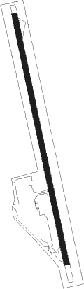
Runway info
| Runway 02 / 20 | ||
| length | 1096m (3596ft) | |
| bearing | 352° / 172° | |
| width | 23m (75ft) | |
| surface | asphalt | |
Nearby beacons
| code | identifier | dist | bearing | frequency |
|---|---|---|---|---|
| YPT | DME-ILS | 26.1 | 304° | 110.90 |
Disclaimer
The information on this website is not for real aviation. Use this data with the X-Plane flight simulator only! Data taken with kind consent from X-Plane 12 source code and data files. Content is subject to change without notice.