Guarapari
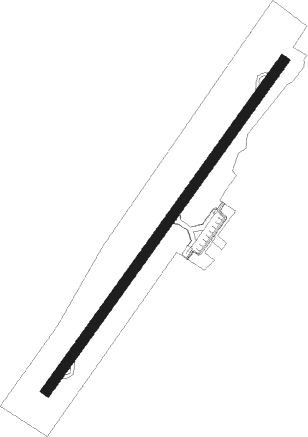
Airport details
| Country | Brazil |
| State | Espírito Santo |
| Region | SB |
| Airspace | Recife Ctr |
| Municipality | Guarapari |
| Elevation | 27ft (8m) |
| Timezone | GMT -3 |
| Coordinates | -20.65055, -40.49222 |
| Magnetic var | |
| Type | land |
| Available since | X-Plane v10.40 |
| ICAO code | SNGA |
| IATA code | GUZ |
| FAA code | n/a |
Communication
| Guarapari UNICOM | 122.800 |
Nearby Points of Interest:
Santuário Nacional de São José de Anchieta
-Ponte Florentino Avidos
-Domingos Martins Palace
-Casa à Rua José Marcelino, 197
-Church of Our Lady of the Rosary
-Capixaba Market
-Arquivo Público do Estado do Espírito Santo
Nearby beacons
| code | identifier | dist | bearing | frequency |
|---|---|---|---|---|
| VRI | VITORIA VOR/DME | 26.1 | 28° | 116.40 |
Disclaimer
The information on this website is not for real aviation. Use this data with the X-Plane flight simulator only! Data taken with kind consent from X-Plane 12 source code and data files. Content is subject to change without notice.