Caetité - Caetite
Airport details
| Country | Brazil |
| State | Bahia |
| Region | SB |
| Airspace | Recife Ctr |
| Municipality | Caetité |
| Elevation | 3202ft (976m) |
| Timezone | GMT -3 |
| Coordinates | -14.01209, -42.49464 |
| Magnetic var | |
| Type | land |
| Available since | X-Plane v11.51r1 |
| ICAO code | SNIE |
| IATA code | n/a |
| FAA code | n/a |
Communication
| Caetite Caetite CTAF | 118.700 |
Nearby Points of Interest:
Casa do Coronel Cazuzinha
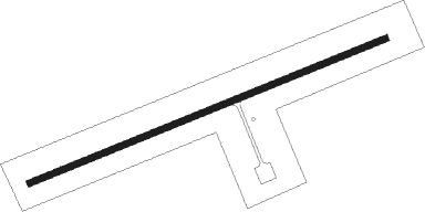
Runway info
| Runway 10 / 28 | ||
| length | 1359m (4459ft) | |
| bearing | 73° / 253° | |
| width | 21m (68ft) | |
| surface | asphalt | |
Nearby beacons
| code | identifier | dist | bearing | frequency |
|---|---|---|---|---|
| CEE | CAETITE NDB | 4 | 195° | 390 |
| LAP | LAPA (BOM JESUS DE LAPA) VOR/DME | 69.6 | 309° | 113.70 |
Disclaimer
The information on this website is not for real aviation. Use this data with the X-Plane flight simulator only! Data taken with kind consent from X-Plane 12 source code and data files. Content is subject to change without notice.