Cachoeiro Do Itapemirim
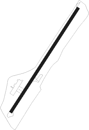
Airport details
| Country | Brazil |
| State | Espírito Santo |
| Region | SB |
| Airspace | Curitiba Ctr |
| Municipality | Cachoeiro de Itapemirim |
| Elevation | 333ft (101m) |
| Timezone | GMT -3 |
| Coordinates | -20.83528, -41.18639 |
| Magnetic var | |
| Type | land |
| Available since | X-Plane v10.40 |
| ICAO code | SNKI |
| IATA code | CDI |
| FAA code | n/a |
Communication
Nearby Points of Interest:
Santuário Nacional de São José de Anchieta
Nearby beacons
| code | identifier | dist | bearing | frequency |
|---|---|---|---|---|
| CPO | DME-ILS | 52.4 | 188° | 108.70 |
| VRI | VITORIA VOR/DME | 61.3 | 57° | 116.40 |
Disclaimer
The information on this website is not for real aviation. Use this data with the X-Plane flight simulator only! Data taken with kind consent from X-Plane 12 source code and data files. Content is subject to change without notice.