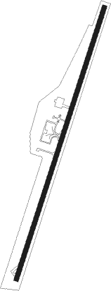
Ayacucho - Cor. Alfredo Mendivil Duarte
Airport details
| Country | Peru |
| State | Ayacucho |
| Region | SP |
| Airspace | Lima Ctr |
| Municipality | Andres Avelino Caceres Dorregaray |
| Elevation | 8999ft (2743m) |
| Timezone | GMT -5 |
| Coordinates | -13.15292, -74.20451 |
| Magnetic var | |
| Type | land |
| Available since | X-Plane v10.40 |
| ICAO code | SPHO |
| IATA code | AYP |
| FAA code | n/a |
Communication
| Cor. Alfredo Mendivil Duarte Tower | 118.100 |
| Cor. Alfredo Mendivil Duarte Departure | 118.100 |
Nearby Points of Interest:
Alameda Valdelirios
-Wari ruins
-Pampas de Ayacucho Historical Sanctuary
Nearby beacons
| code | identifier | dist | bearing | frequency |
|---|---|---|---|---|
| AYA | AYACUCHO NDB | 0 | 322° | 370 |
| AND | ANDAHUAYLAS VOR/DME | 58.8 | 124° | 114.30 |
Disclaimer
The information on this website is not for real aviation. Use this data with the X-Plane flight simulator only! Data taken with kind consent from X-Plane 12 source code and data files. Content is subject to change without notice.