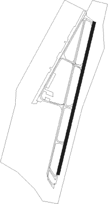
Chorrillos - Las Palmas
Airport details
| Country | Peru |
| State | Lima |
| Region | SP |
| Airspace | Lima Ctr |
| Municipality | Santiago de Surco |
| Elevation | 250ft (76m) |
| Timezone | GMT -5 |
| Coordinates | -12.16841, -77.00470 |
| Magnetic var | |
| Type | land |
| Available since | X-Plane v10.40 |
| ICAO code | SPLP |
| IATA code | n/a |
| FAA code | n/a |
Communication
| Las Palmas Ground Control | 119.300 |
| Las Palmas Tower | 118.500 |
| Las Palmas Approach | 124.000 |
Nearby Points of Interest:
San Sebastián
-Quinta Leuro
-Lorenzo
-Casa Suárez
-Casa Hacienda Moreyra
-Casa Hacienda de Orbea
-Finca de Iturrizaga
-The Eye That Cries
-Palacio de la Magdalena
-Hospital Real de San Andrés
-Bolognesi's Square
-Justice Palace of Lima
-Fort of Santa Catalina, Lima
-Edificio Rímac
-Panteón de los Próceres
-National Library of Peru
-Farola de Las Tres Gracias
-Jirón de la Unión
-Legislative Palace of Peru
-Equestrian statue of Simón Bolívar
-Bolsa de Valores de Lima
-Palais Concert
-Basilica of Nuestra Señora de la Merced
-Casa de Pilatos
-Hospital "Arzobispo Loayza"
Nearby beacons
| code | identifier | dist | bearing | frequency |
|---|---|---|---|---|
| JCL | JORGE CHAVEZ (LIMA-CALLAO VOR/DME | 9.7 | 322° | 116.90 |
| SLS | SALINAS VOR/DME | 62.2 | 328° | 114.70 |
Disclaimer
The information on this website is not for real aviation. Use this data with the X-Plane flight simulator only! Data taken with kind consent from X-Plane 12 source code and data files. Content is subject to change without notice.