Bom Jesus
Airport details
| Country | Brazil |
| State | Rio Grande do Sul |
| Region | |
| Airspace | Curitiba Ctr |
| Municipality | Bom Jesus |
| Elevation | 3514ft (1071m) |
| Timezone | GMT -3 |
| Coordinates | -28.60004, -50.45457 |
| Magnetic var | |
| Type | land |
| Available since | X-Plane v10.40 |
| ICAO code | SSBJ |
| IATA code | n/a |
| FAA code | n/a |
Communication
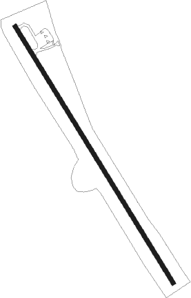
Runway info
| Runway 16 / 34 | ||
| length | 1368m (4488ft) | |
| bearing | 150° / 330° | |
| width | 19m (62ft) | |
| surface | dirt | |
Nearby beacons
| code | identifier | dist | bearing | frequency |
|---|---|---|---|---|
| LJS | LAGES NDB | 50 | 12° | 240 |
| CXS | DO SUL VOR/DME | 52.7 | 231° | 112.30 |
| TOR | TORRES NDB | 59.5 | 141° | 230 |
Disclaimer
The information on this website is not for real aviation. Use this data with the X-Plane flight simulator only! Data taken with kind consent from X-Plane 12 source code and data files. Content is subject to change without notice.