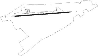
Osório - Aeroclube Planadores Albatroz
Airport details
| Country | Brazil |
| State | Rio Grande do Sul |
| Region | |
| Airspace | Curitiba Ctr |
| Municipality | Osório |
| Elevation | 39ft (12m) |
| Timezone | GMT -3 |
| Coordinates | -29.90229, -50.25412 |
| Magnetic var | |
| Type | land |
| Available since | X-Plane v10.30 |
| ICAO code | SSOS |
| IATA code | n/a |
| FAA code | n/a |
Communication
Nearby Points of Interest:
Museu Antropológico Caldas Júnior
Runway info
| Runway 10 / 28 | ||
| length | 1193m (3914ft) | |
| bearing | 90° / 270° | |
| width | 20m (66ft) | |
| surface | dirt | |
| blast zone | 227m (745ft) / 170m (558ft) | |
Nearby beacons
| code | identifier | dist | bearing | frequency |
|---|---|---|---|---|
| FB | TRAMANDAI (PORTO ALEGRE TMA) NDB | 8 | 131° | 300 |
| TQA | DME | 30.8 | 294° | 112.90 |
| TOR | TORRES NDB | 37.4 | 43° | 230 |
| FIG | FIGUEIRAS (PORTO ALEGRE) VOR/DME | 37.9 | 262° | 114.70 |
| COA | CANOAS (PORTO ALEGRE) VOR/DME | 46.5 | 267° | 113.60 |
| POR | PORTO ALEGRE VOR/DME | 47.7 | 264° | 114 |
| PAG | PORTO ALEGRE NDB | 48.4 | 264° | 330 |
| CXS | DO SUL VOR/DME | 64.5 | 307° | 112.30 |
Disclaimer
The information on this website is not for real aviation. Use this data with the X-Plane flight simulator only! Data taken with kind consent from X-Plane 12 source code and data files. Content is subject to change without notice.