São Borja - Sao Borja
Airport details
| Country | Brazil |
| State | Rio Grande do Sul |
| Region | SB |
| Airspace | Curitiba Ctr |
| Municipality | São Borja |
| Elevation | 246ft (75m) |
| Timezone | GMT -3 |
| Coordinates | -28.65306, -56.03278 |
| Magnetic var | |
| Type | land |
| Available since | X-Plane v10.40 |
| ICAO code | SSSB |
| IATA code | QOJ |
| FAA code | n/a |
Communication
| Sao Borja UNICOM | 122.800 |
Runway info
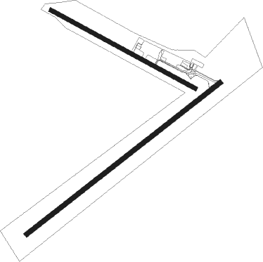
Runway 06 / 24  | ||
| length | 1502m (4928ft) | |
| bearing | 60° / 240° | |
| width | 31m (102ft) | |
| surface | asphalt | |
| Runway 13 / 31 | ||
| length | 1001m (3284ft) | |
| bearing | 120° / 300° | |
| width | 25m (82ft) | |
| surface | dirt | |
Disclaimer
The information on this website is not for real aviation. Use this data with the X-Plane flight simulator only! Data taken with kind consent from X-Plane 12 source code and data files. Content is subject to change without notice.