Umuarama
Airport details
| Country | Brazil |
| State | Paraná |
| Region | SB |
| Airspace | Curitiba Ctr |
| Municipality | Umuarama |
| Elevation | 1558ft (475m) |
| Timezone | GMT -3 |
| Coordinates | -23.79917, -53.31389 |
| Magnetic var | |
| Type | land |
| Available since | X-Plane v10.40 |
| ICAO code | SSUM |
| IATA code | UMU |
| FAA code | n/a |
Communication
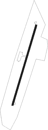
Runway info
| Runway 03 / 21 | ||
| length | 1370m (4495ft) | |
| bearing | 23° / 203° | |
| width | 30m (98ft) | |
| surface | asphalt | |
| blast zone | 0m (0ft) / 116m (381ft) | |
Nearby beacons
| code | identifier | dist | bearing | frequency |
|---|---|---|---|---|
| GAI | GUAIRA NDB | 54.4 | 253° | 305 |
Disclaimer
The information on this website is not for real aviation. Use this data with the X-Plane flight simulator only! Data taken with kind consent from X-Plane 12 source code and data files. Content is subject to change without notice.