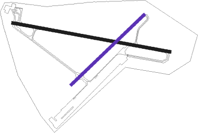
Maracay - Mariscal Sucre Ab
Airport details
| Country | Venezuela |
| State | Aragua State |
| Region | SV |
| Airspace | Maiquetia Ctr |
| Municipality | Parroquia Los Tacariguas |
| Elevation | 1337ft (408m) |
| Timezone | GMT -4 |
| Coordinates | 10.24223, -67.65674 |
| Magnetic var | |
| Type | land |
| Available since | X-Plane v10.40 |
| ICAO code | SVBS |
| IATA code | MYC |
| FAA code | n/a |
Communication
| Mariscal Sucre AB ATIS | 127.600 |
| Mariscal Sucre AB MULTICOM | 134.100 |
| Mariscal Sucre AB Ground Control | 121.700 |
| Mariscal Sucre AB Tower | 118.050 |
Nearby Points of Interest:
Sindoni Tower
-Casa Guipuzcoana

Nearby beacons
| code | identifier | dist | bearing | frequency |
|---|---|---|---|---|
| BAL | EL LIBERTADOR (MARACAY) VOR/DME | 7.3 | 119° | 113.90 |
| BEL | BELEN NDB | 15.2 | 190° | 235 |
| VAL | VALENCIA VOR/DME | 16.7 | 250° | 117.40 |
| PBL | PUERTO CABELLO VOR/DME | 28.8 | 300° | 117.70 |
| SSB | SAN SEBASTIAN NDB | 34.4 | 119° | 318 |
| MIQ | MAIQUETIA VOR/DME | 45.1 | 61° | 114.80 |
| TUY | TUY (CARACAS) VOR/DME | 50.7 | 87° | 115.20 |
Disclaimer
The information on this website is not for real aviation. Use this data with the X-Plane flight simulator only! Data taken with kind consent from X-Plane 12 source code and data files. Content is subject to change without notice.