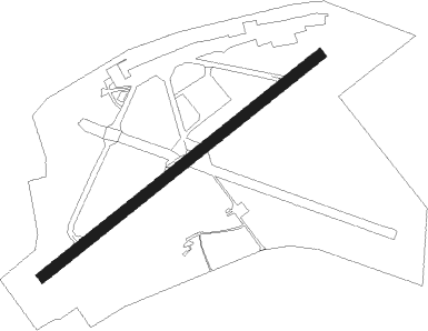
Ciudad Bolivar
Airport details
| Country | Venezuela |
| State | Bolivar State |
| Region | SV |
| Airspace | Maiquetia Ctr |
| Municipality | Ciudad Bolivar |
| Elevation | 194ft (59m) |
| Timezone | GMT -4 |
| Coordinates | 8.12636, -63.53540 |
| Magnetic var | |
| Type | land |
| Available since | X-Plane v10.40 |
| ICAO code | SVCB |
| IATA code | CBL |
| FAA code | n/a |
Communication
| Ciudad Bolivar Tower | 122.200 |
Nearby Points of Interest:
Ciudad Bolívar
Nearby beacons
| code | identifier | dist | bearing | frequency |
|---|---|---|---|---|
| CBL | CIUDAD BOLIVAR VOR/DME | 0.3 | 154° | 115.10 |
| GRY | TOCOMITA NDB | 34.9 | 130° | 255 |
| GNA | GUAYANA VOR/DME | 47.5 | 78° | 114.70 |
| SOM | SAN TOME VOR/DME | 61.3 | 323° | 116.50 |
Instrument approach procedures
| runway | airway (heading) | route (dist, bearing) |
|---|---|---|
| RW07 | DEVUS (88°) | DEVUS GEMGA (21mi, 97°) 2700ft ISPOX (5mi, 100°) 2700ft |
| RW07 | MIGED (194°) | MIGED LOLEM (33mi, 213°) 2700ft GEMGA (5mi, 189°) 2700ft ISPOX (5mi, 100°) 2700ft |
| RW07 | SOM (143°) | SOM GEMGA (59mi, 154°) 2700ft ISPOX (5mi, 100°) 2700ft |
| RNAV | ISPOX 2700ft KIMAM (3mi, 56°) 1800ft SVCB (6mi, 55°) 215ft LOMEK (turn) GEMGA (13mi, 252°) 3700ft GEMGA (turn) | |
| RW25 | GNA (258°) | GNA MULEP (36mi, 259°) 2700ft OPGOS (5mi, 280°) 2700ft |
| RW25 | MIGED (194°) | MIGED ISETI (20mi, 178°) 2700ft OPGOS (5mi, 192°) 2700ft |
| RW25 | SOM (143°) | SOM ISETI (60mi, 131°) 2700ft OPGOS (5mi, 192°) 2700ft |
| RNAV | OPGOS 2700ft PUKAM (3mi, 236°) 1800ft SVCB (5mi, 238°) 199ft ILTEK (turn) ISETI (13mi, 40°) 3700ft ISETI (turn) |
Disclaimer
The information on this website is not for real aviation. Use this data with the X-Plane flight simulator only! Data taken with kind consent from X-Plane 12 source code and data files. Content is subject to change without notice.