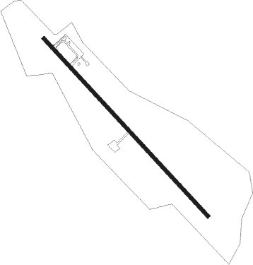
San Carlos
Airport details
| Country | Venezuela |
| State | Cojedes State |
| Region | SV |
| Airspace | Maiquetia Ctr |
| Municipality | San Carlos |
| Elevation | 512ft (156m) |
| Timezone | GMT -4 |
| Coordinates | 9.64750, -68.57445 |
| Magnetic var | |
| Type | land |
| Available since | X-Plane v10.40 |
| ICAO code | SVCJ |
| IATA code | n/a |
| FAA code | n/a |
Communication
| San Carlos Tower | 122.700 |
Nearby beacons
| code | identifier | dist | bearing | frequency |
|---|---|---|---|---|
| YAR | YARITAGUA NDB | 38.3 | 309° | 260 |
| AGV | ACARIGUA VOR/DME | 39.7 | 262° | 113.40 |
| SPE | SAN FELIPE NDB | 39.7 | 344° | 230 |
| VAL | VALENCIA VOR/DME | 48.8 | 52° | 117.40 |
| BRM | BARQUISIMETO VOR/DME | 51.7 | 297° | 112.20 |
| BEL | BELEN NDB | 55.7 | 69° | 235 |
| PBL | PUERTO CABELLO VOR/DME | 58.2 | 31° | 117.70 |
Disclaimer
The information on this website is not for real aviation. Use this data with the X-Plane flight simulator only! Data taken with kind consent from X-Plane 12 source code and data files. Content is subject to change without notice.