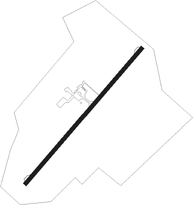
Guanare
Airport details
| Country | Venezuela |
| State | Portuguesa State |
| Region | SV |
| Airspace | Maiquetia Ctr |
| Municipality | Guanare |
| Elevation | 604ft (184m) |
| Timezone | GMT -4 |
| Coordinates | 9.02843, -69.75565 |
| Magnetic var | |
| Type | land |
| Available since | X-Plane v10.40 |
| ICAO code | SVGU |
| IATA code | GUQ |
| FAA code | n/a |
Communication
| Guanare Ground Control | 121.900 |
| Guanare Tower | 118.400 |
Nearby Points of Interest:
Chorro San Miguel
Nearby beacons
| code | identifier | dist | bearing | frequency |
|---|---|---|---|---|
| BNS | BARINAS VOR/DME | 37 | 228° | 117.50 |
| AGV | ACARIGUA VOR/DME | 43.9 | 45° | 113.40 |
| VRA | VALERA VOR/DME | 53.2 | 296° | 114.40 |
Disclaimer
The information on this website is not for real aviation. Use this data with the X-Plane flight simulator only! Data taken with kind consent from X-Plane 12 source code and data files. Content is subject to change without notice.