Higuerote
Airport details
| Country | Venezuela |
| State | Miranda State |
| Region | SV |
| Airspace | Maiquetia Ctr |
| Municipality | Parroquia Higuerote |
| Elevation | 12ft (4m) |
| Timezone | GMT -4 |
| Coordinates | 10.46222, -66.09278 |
| Magnetic var | |
| Type | land |
| Available since | X-Plane v10.40 |
| ICAO code | SVHG |
| IATA code | HGE |
| FAA code | n/a |
Communication
| Higuerote ATIS | 127.500 |
| Higuerote Tower | 118.200 |
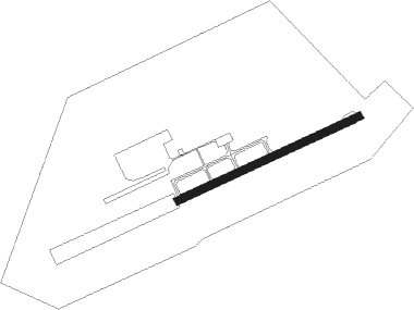
Runway info
| Runway 08 / 26 | ||
| length | 1200m (3937ft) | |
| bearing | 70° / 250° | |
| width | 45m (148ft) | |
| surface | asphalt | |
Nearby beacons
| code | identifier | dist | bearing | frequency |
|---|---|---|---|---|
| CBC | CABO CODERA VOR/DME | 7.1 | 21° | 113.50 |
| TUY | TUY (CARACAS) VOR/DME | 42.9 | 256° | 115.20 |
| MIQ | MAIQUETIA VOR/DME | 53.6 | 279° | 114.80 |
Disclaimer
The information on this website is not for real aviation. Use this data with the X-Plane flight simulator only! Data taken with kind consent from X-Plane 12 source code and data files. Content is subject to change without notice.