Puerto Ayacucho - Casique Aramare
Airport details
| Country | Venezuela |
| State | Amazonas State |
| Region | SV |
| Airspace | Maiquetia Ctr |
| Municipality | Puerto Ayacucho |
| Elevation | 245ft (75m) |
| Timezone | GMT -4 |
| Coordinates | 5.62000, -67.60611 |
| Magnetic var | |
| Type | land |
| Available since | X-Plane v10.40 |
| ICAO code | SVPA |
| IATA code | PYH |
| FAA code | n/a |
Communication
| Casique Aramare PUERTO AYACUCHO | 118.300 |
Runway info
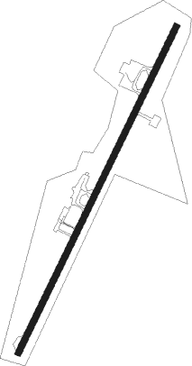
| Runway 04 / 22 | ||
| length | 2541m (8337ft) | |
| bearing | 30° / 210° | |
| width | 43m (140ft) | |
| surface | asphalt | |
Nearby beacons
| code | identifier | dist | bearing | frequency |
|---|---|---|---|---|
| PAY | PUERTO AYACUCHO VOR/DME | 0.3 | 228° | 116.40 |
| PTC | PUERTO CARRENO VOR/DME | 34.3 | 11° | 112.90 |
| PIJ | LOS PIJIGUAOS NDB | 74.5 | 40° | 310 |
Disclaimer
The information on this website is not for real aviation. Use this data with the X-Plane flight simulator only! Data taken with kind consent from X-Plane 12 source code and data files. Content is subject to change without notice.