São Gabriel Da Cachoeira - Cucui
Airport details
| Country | Brazil |
| State | Amazonas |
| Region | SB |
| Airspace | Amazonica Ctr |
| Municipality | São Gabriel da Cachoeira |
| Elevation | 271ft (83m) |
| Timezone | GMT -4 |
| Coordinates | 1.12056, -66.84167 |
| Magnetic var | |
| Type | land |
| Available since | X-Plane v10.40 |
| ICAO code | SWKU |
| IATA code | n/a |
| FAA code | n/a |
Communication
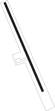
Runway info
| Runway 16 / 34 | ||
| length | 1203m (3947ft) | |
| bearing | 161° / 341° | |
| width | 25m (82ft) | |
| surface | asphalt | |
| blast zone | 0m (0ft) / 243m (797ft) | |
Nearby beacons
| code | identifier | dist | bearing | frequency |
|---|---|---|---|---|
| SRN | SAN CARLOS DE RIO NEGRO NDB | 49.9 | 345° | 395 |
Disclaimer
The information on this website is not for real aviation. Use this data with the X-Plane flight simulator only! Data taken with kind consent from X-Plane 12 source code and data files. Content is subject to change without notice.