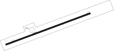
Anegada - Anegada/auguste George
Airport details
| Country | British Virgin Islands |
| State | [Other] |
| Region | TU |
| Airspace | San Juan Oceanic Ctr |
| Municipality | Anegada |
| Elevation | 7ft (2m) |
| Timezone | GMT -4 |
| Coordinates | 18.72778, -64.32861 |
| Magnetic var | |
| Type | land |
| Available since | X-Plane v10.32 |
| ICAO code | TUPA |
| IATA code | NGD |
| FAA code | n/a |
Communication
Nearby Points of Interest:
Annaberg Historic District
-Estate Carolina Sugar Plantation
-Mary Point Estate
-Cinnamon Bay Plantation
-Reef Bay Trail petroglyphs
-Reef Bay Sugar Factory Historic District
-Cruz Bay
-Lind Point Fort
Nearby beacons
| code | identifier | dist | bearing | frequency |
|---|---|---|---|---|
| STT | SAINT THOMAS VOR/DME | 45.4 | 242° | 108.60 |
| COY | SAINT CROIX VOR/DME | 63.3 | 201° | 108.20 |
Disclaimer
The information on this website is not for real aviation. Use this data with the X-Plane flight simulator only! Data taken with kind consent from X-Plane 12 source code and data files. Content is subject to change without notice.
